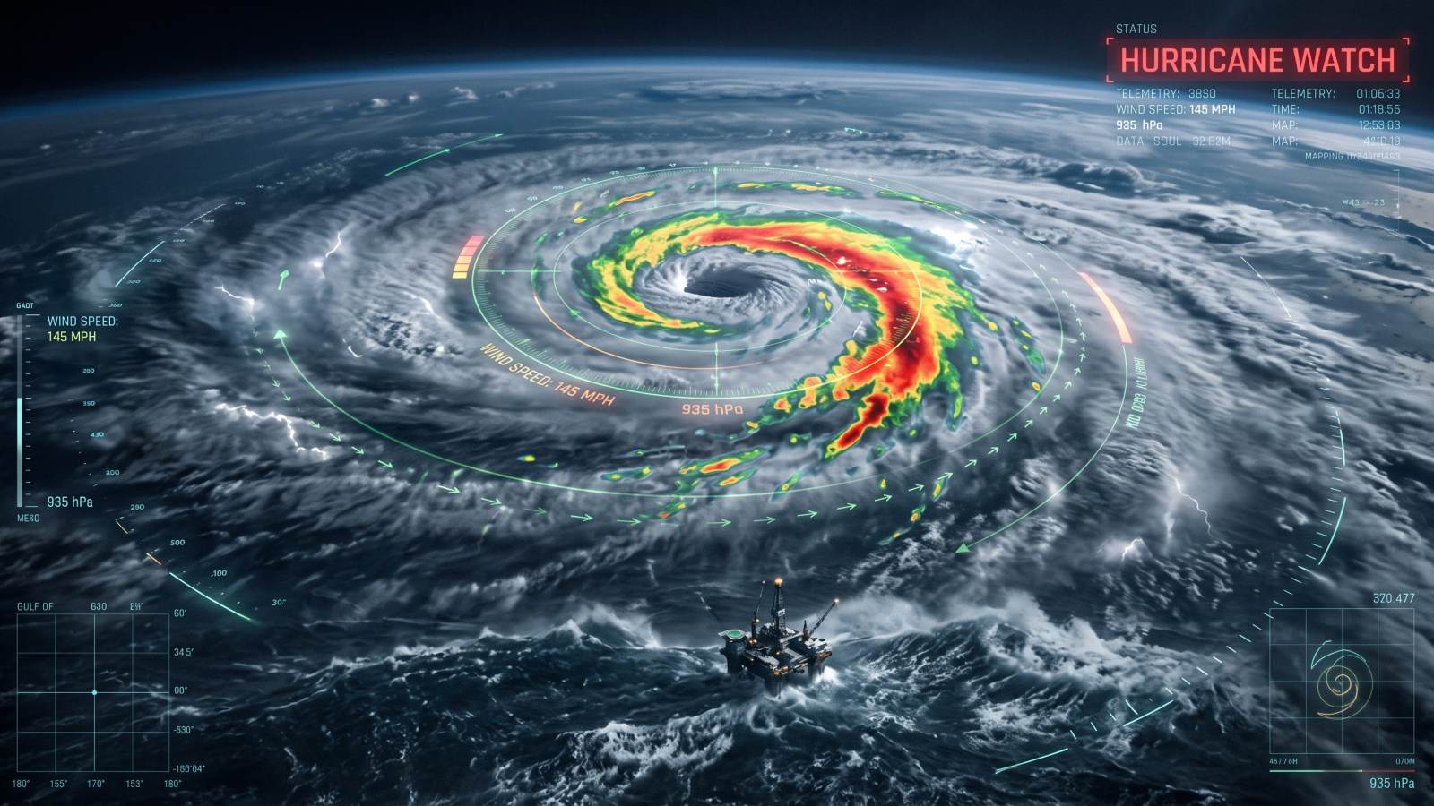
The National Hurricane Center issued a Gulf Coast hurricane watch as Isaias was forecast to strengthen before landfall this weekend.
- Oct 7Storm forms
Isaias formed in the warm waters off eastern Mexico.
- Oct 7Watch issued
The National Hurricane Center issued a hurricane watch for the northern Gulf Coast from Bay St. Louis, Mississippi, to Indian Pass on the Florida Panhandle.
- Oct 8Strengthening forecast
Forecasters expect Isaias to become a hurricane as it turns north towards the US Gulf Coast.
- Late Friday or early SaturdayLandfall window
The storm is expected to make landfall, although its path and timing could shift.
The storm could bring dangerous winds, flooding and tornadoes from the Gulf Coast inland, while forcing offshore producers to shut in oil and gas output. Its exact track and strength remain uncertain, especially as upper-level winds could weaken it before landfall.
We're expecting multiple dangerous, life-threatening impacts along portions of the northern Gulf Coast beginning Friday and continuing into the weekend
A hurricane watch means hurricane conditions are possible within 48 hours. The watch covers parts of Mississippi, Alabama and the Florida Panhandle.
What we know
- Warm Gulf waters could strengthen Isaias.
- Vertical wind shear means strong upper-level winds that could weaken the storm before landfall.
- El Niño has increased vertical wind shear and suppressed Atlantic hurricane development.
Still unclear
- The exact location and timing of landfall could shift.
- Whether Isaias will reach major-hurricane strength is not known.
Across the Gulf Coast, from Louisiana to the Florida Panhandle, Isaias may bring isolated rainfall totals reaching 25.4cm, the National Hurricane Center said. Inland areas could receive 7.62cm or more.
Heavy rain, flash and urban flooding, isolated river flooding and tornadoes in rainbands are the primary dangers. Tornadoes may occur in the Florida Panhandle and Alabama from the evening of Oct 9 through Oct 10, while the storm's northward movement is expected to bring more tornadoes further inland.
It's definitely time to look at your hurricane plan and put whatever you need into action
Florida Gov. Ron DeSantis said he had declared a state of emergency for 25 counties in the Panhandle and Big Bend regions. The declaration activates the state's emergency management plan for hurricanes, enabling officials to send disaster responders and equipment. Alabama Gov. Kay Ivey issued a state of emergency for 40 counties.
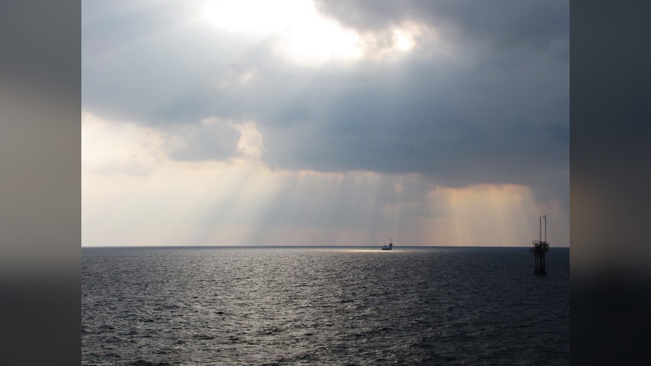
Ahead of the storm, the Marine Minerals Administration said it had evacuated personnel from eight production platforms and two non-dynamically positioned.
Shut-in oil output stands at 511,619 barrels of oil per day, or about 25% of current oil production in the Gulf. Natural gas output has also been reduced by just over 350 million cubic feet per day, representing about 16.4% of total production from the region.
I would characterize the oil market risk as moderate, but rising
Consulting firm Earth Science Associates said its model forecast about 11.2 million barrels of oil production could be lost across the Gulf through the duration of the storm. That would exceed the 7.1 million barrels impacted by Tropical Storm Bertha in July.
If it becomes a hurricane, Isaias would be the Atlantic season's first and could equal the record for the latest first Atlantic hurricane, held by one that hit on Oct 8, 1905. In 2026, a strong El Niño weather pattern has limited Atlantic hurricane development by increasing vertical wind shear.
It is common during El Niño patterns for the Atlantic to be quieter in terms of hurricanes
Forecasters expect landfall along the Mississippi, Alabama or Florida Panhandle coast late Friday or early Saturday, but the path may shift.